by
by The Etowah Indian Mounds in Cartersville, Georgia are not going to win any prizes for exciting places to visit, even though they are “the most intact Mississippian culture site in the Southeast”, per Georgia State Parks and Historic Sites. The history is interesting, but what there is to see –- well, it’s piles of dirt.
The mounds sit on a 54-acre site, which had three major occupation periods between 1000 and 1550 CE when several thousand Native Americans lived there.
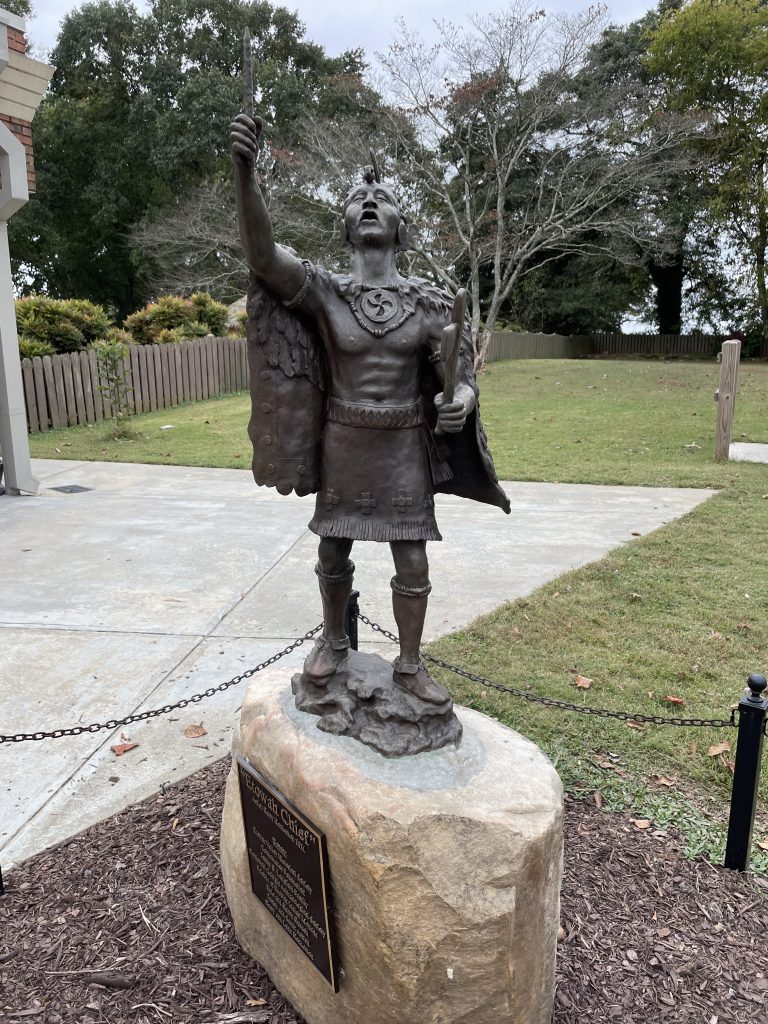
More recently it has been occupied by both Muscogee Creek and Cherokee people, both of whom consider it a sacred site today. Given what happened to the Cherokee later, it is ironic that Muscogee people were pushed out of this area by the Cherokee, who were migrating from eastern Georgia and Tennessee under European-American pressure.

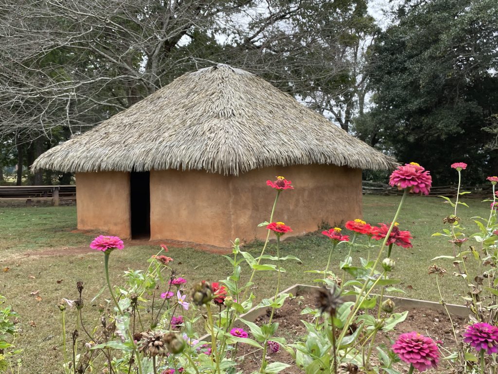
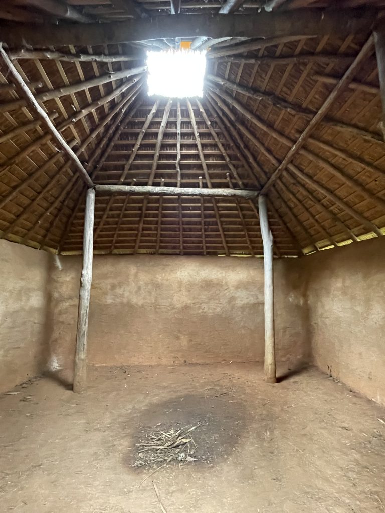
Etowah is a Muskogee word meaning “town.” The research done at the site indicates a complex community that was “artistically and technically advanced culture. Numerous copper tools, weapons and ornamental copper plates accompanied the burials of members of Etowah’s elite class,” per Wikipedia.
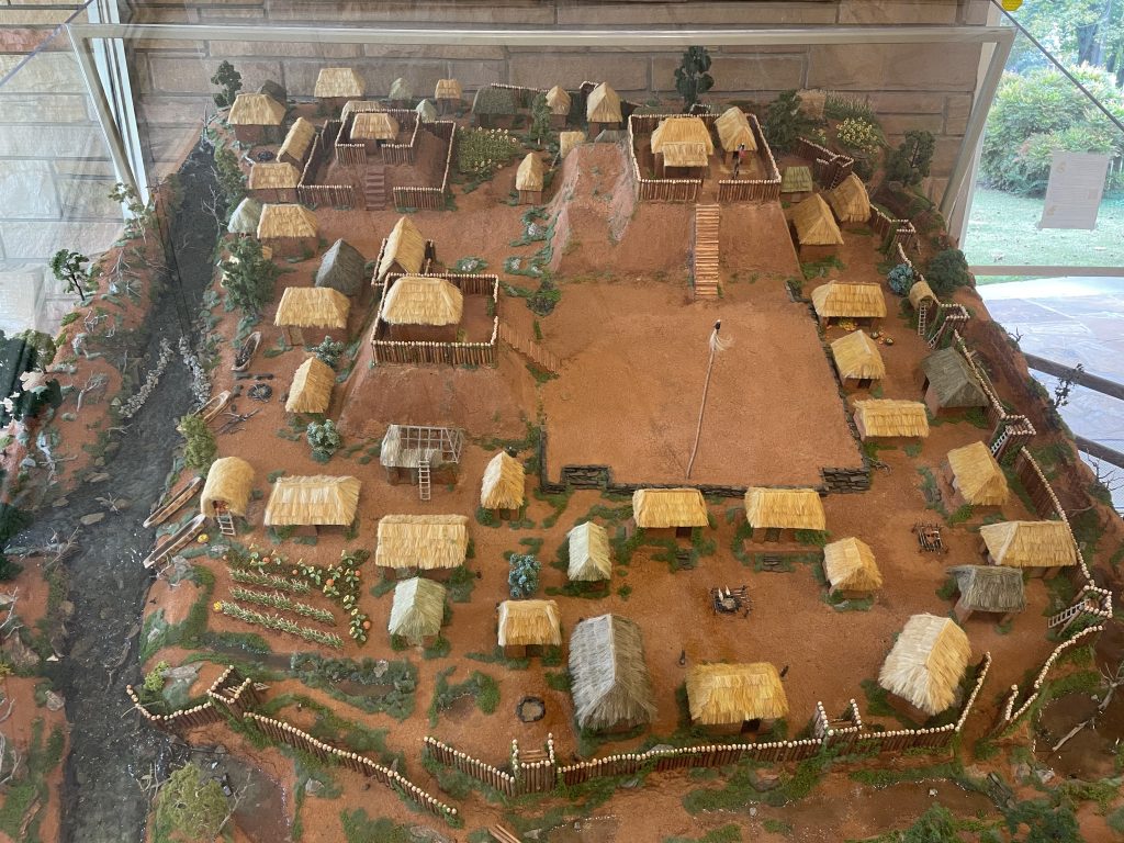
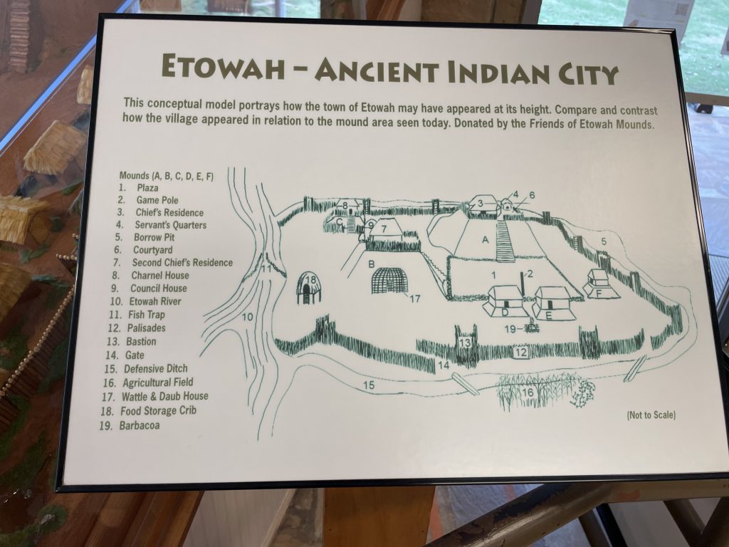
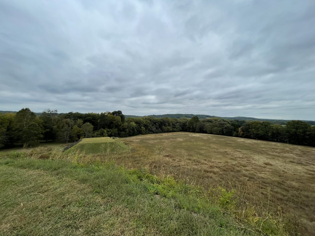
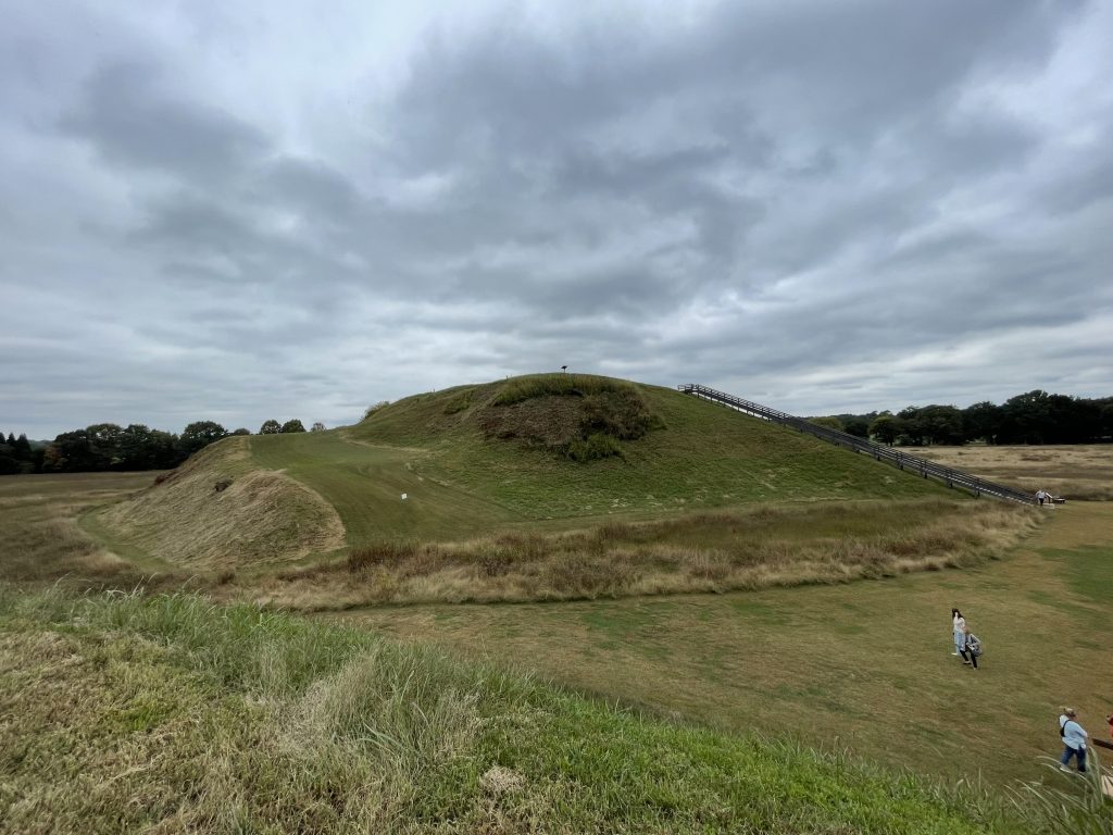
On the site are three large platform mounds. The tallest, Temple Mound, is 63 feet high and covers three acres at its base. From the top, you can really get a sense of the scale of the effort required to build such a large structure!
The second mound is 25 feet high, while the third is 10 feet high. Three other mounds have eroded and are no longer visible. Adjacent to the mounds is a ceremonial plaza that had used for ceremonies (obviously), stickball and other games, and a trading bazaar.
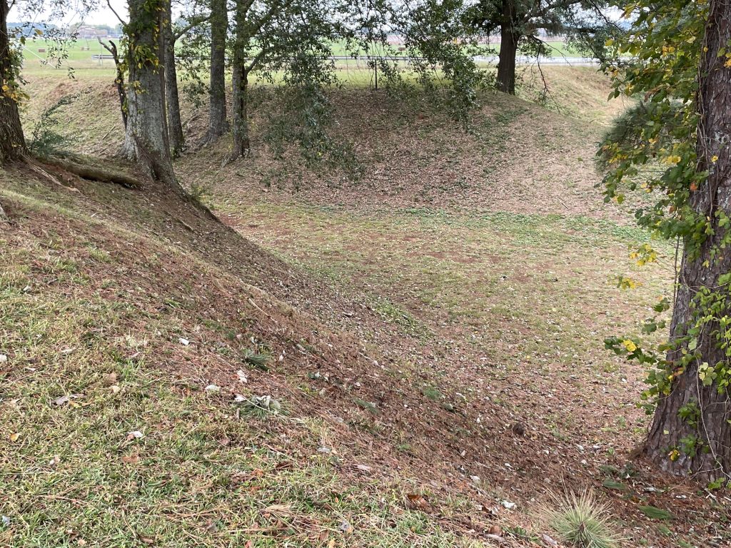
Surrounding the site are 9-to-10-foot pits that look like moats. These were created when dirt was dug to construct the mounds, and added a layer of defensive protection to the area.
Guard towers were spaced about 80 feet apart along it.
It is not known who built the mounds, but they definitely pre-date the Cherokee arrival in the area.